The Bow Valley Parkway, Banff, Alberta

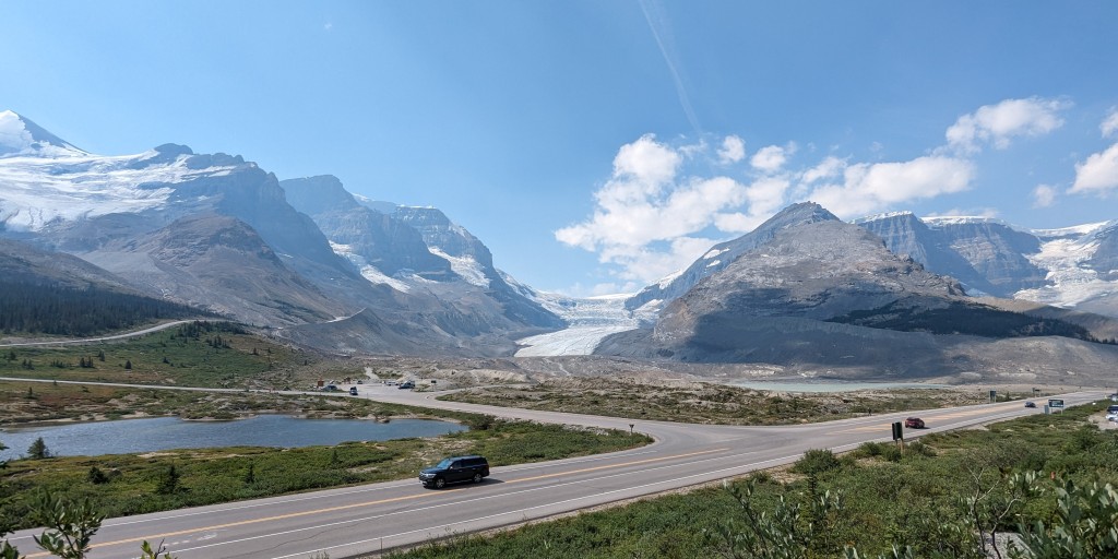
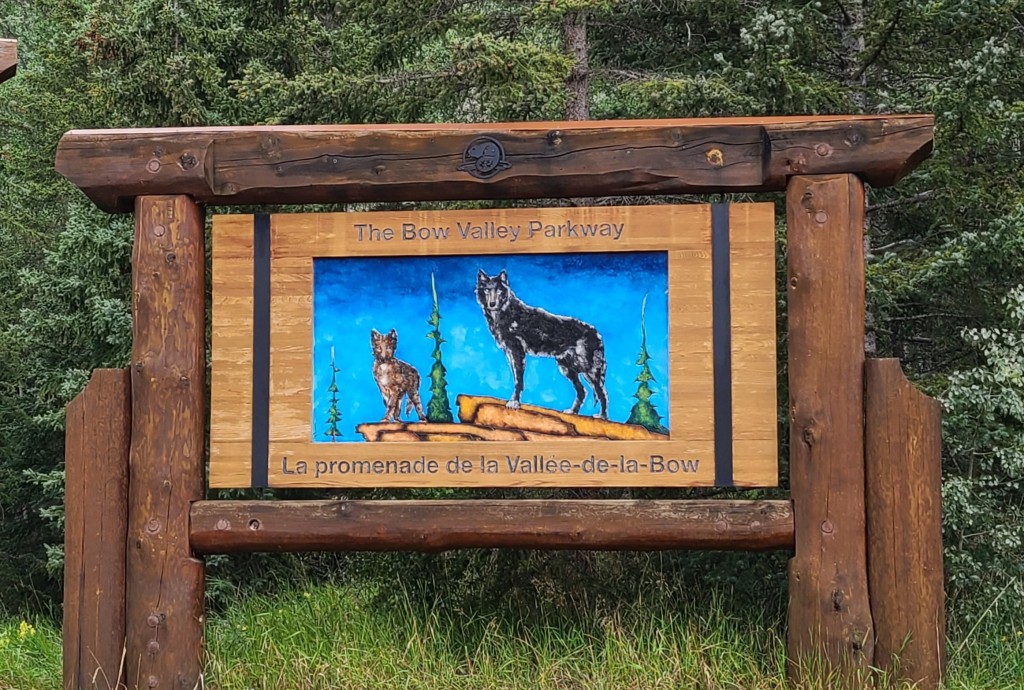
The Icefields Parkway ends just south of Lake Louise in Banff National Park and is replaced with the Trans Canadian Highway 1.  This highway cuts south thru the southern portion of the park and is a major four lane highway.  As an alternative they built Canada Hwy 1A to be a slower and more scenic drive thru the park.  This is the Bow Valley Parkway.

The day started out lovely with the sun rising on Mt. Kidd in the campground.

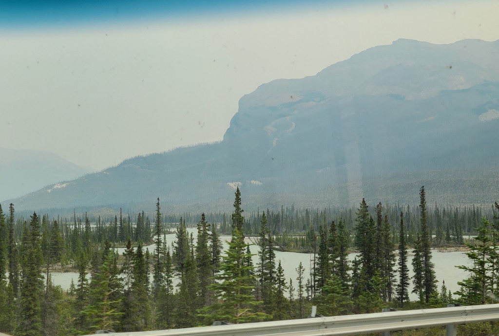
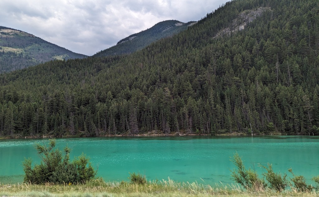
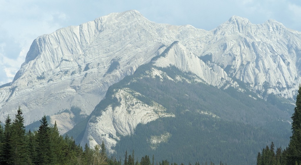
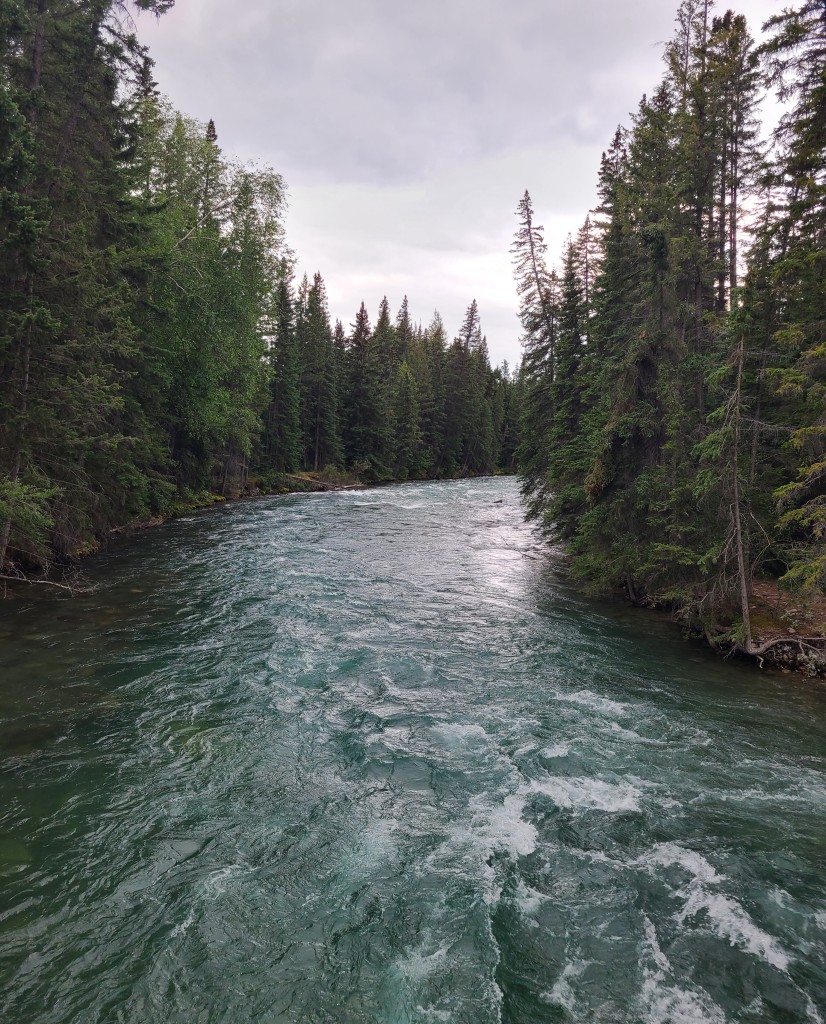
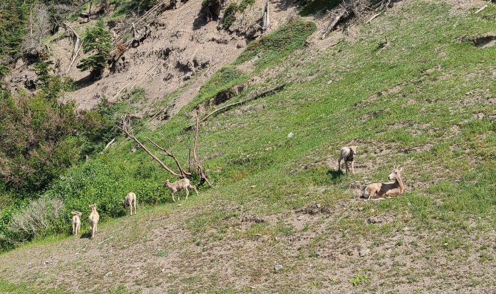
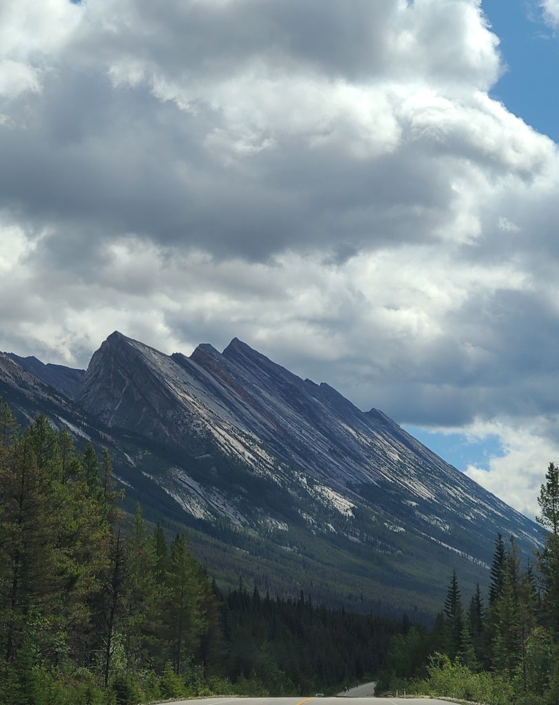
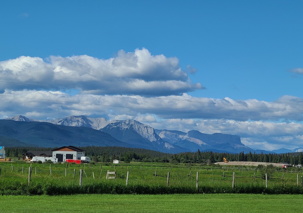
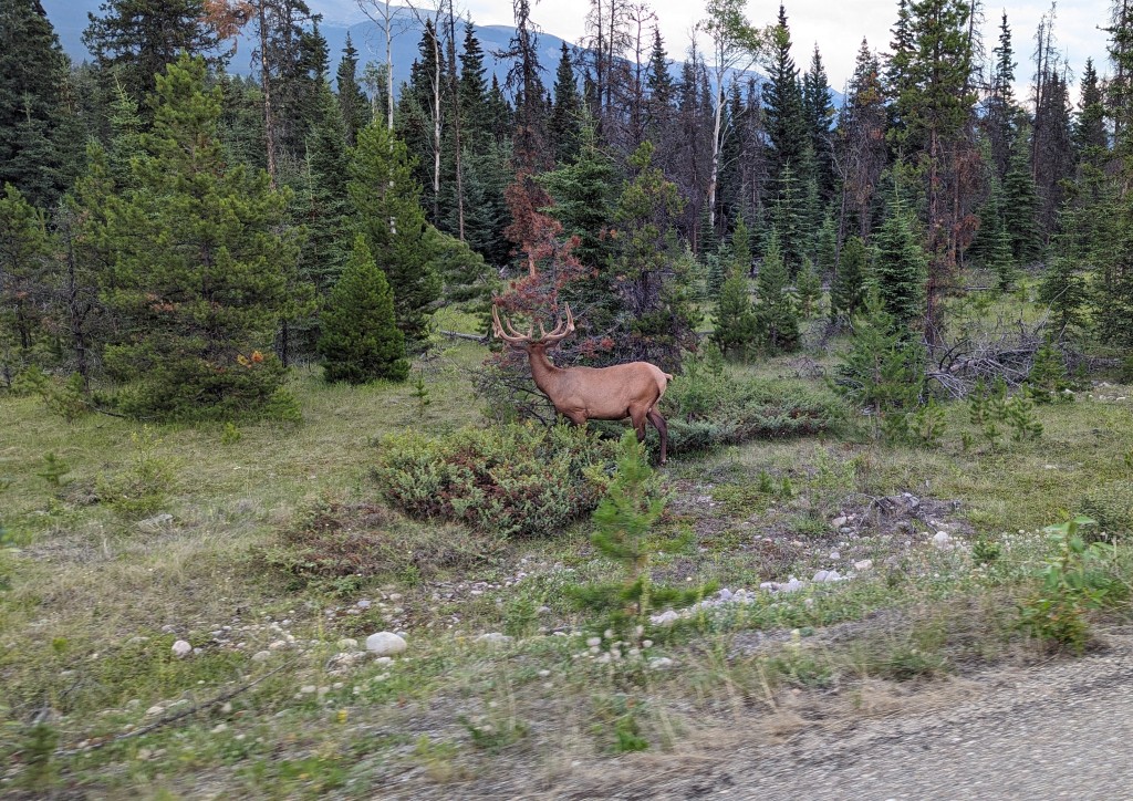
But by the time we made it to the park the clouds were pretty thick and low.  We drove the parkway and although most of the time the view was of clouds, we did manage to get some nice shots too. 

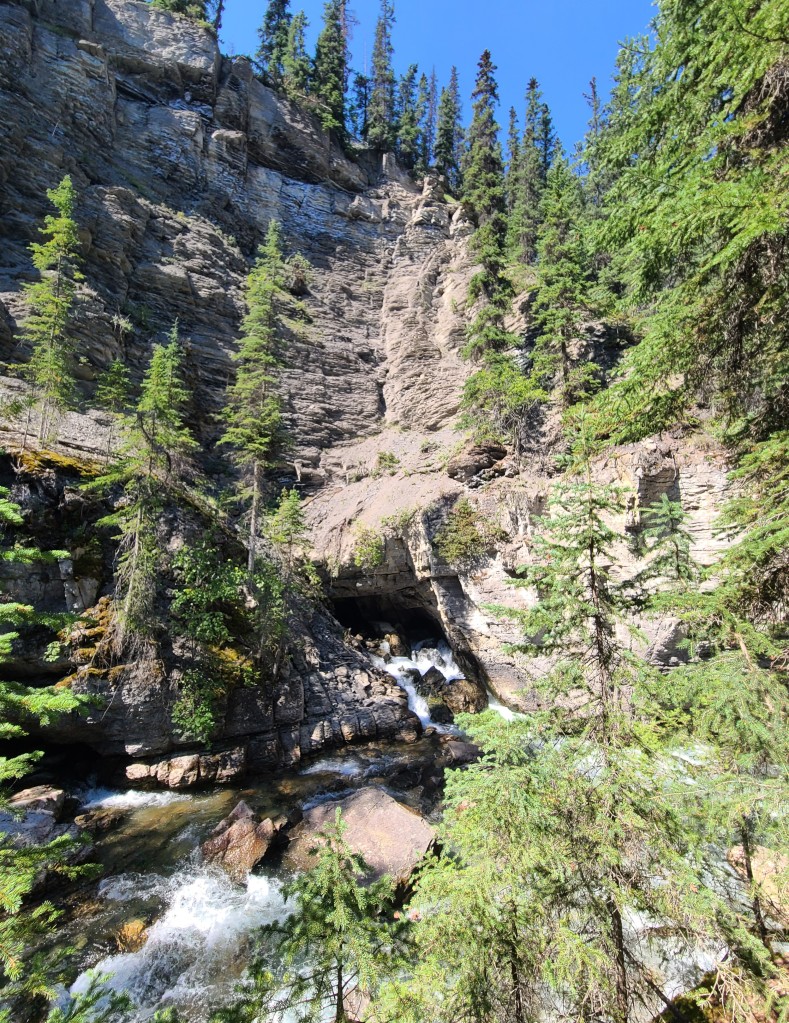
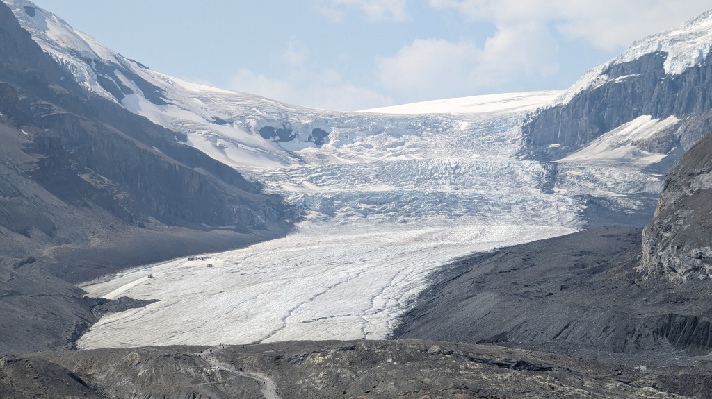
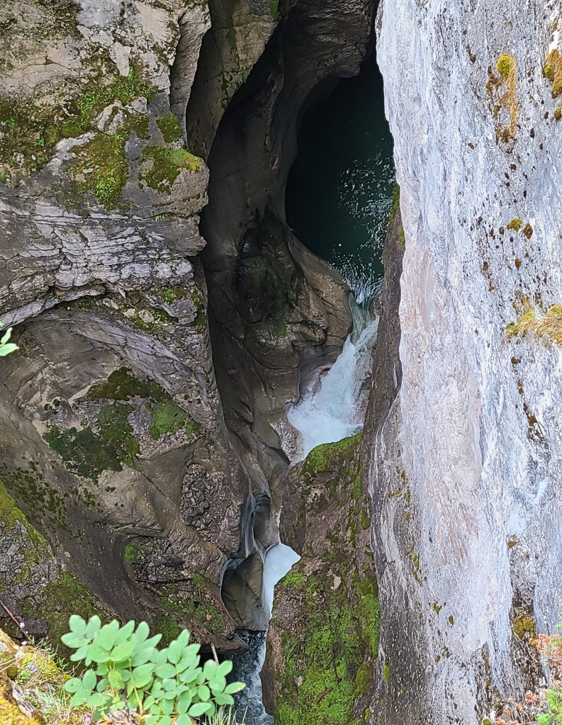
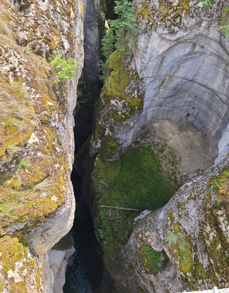
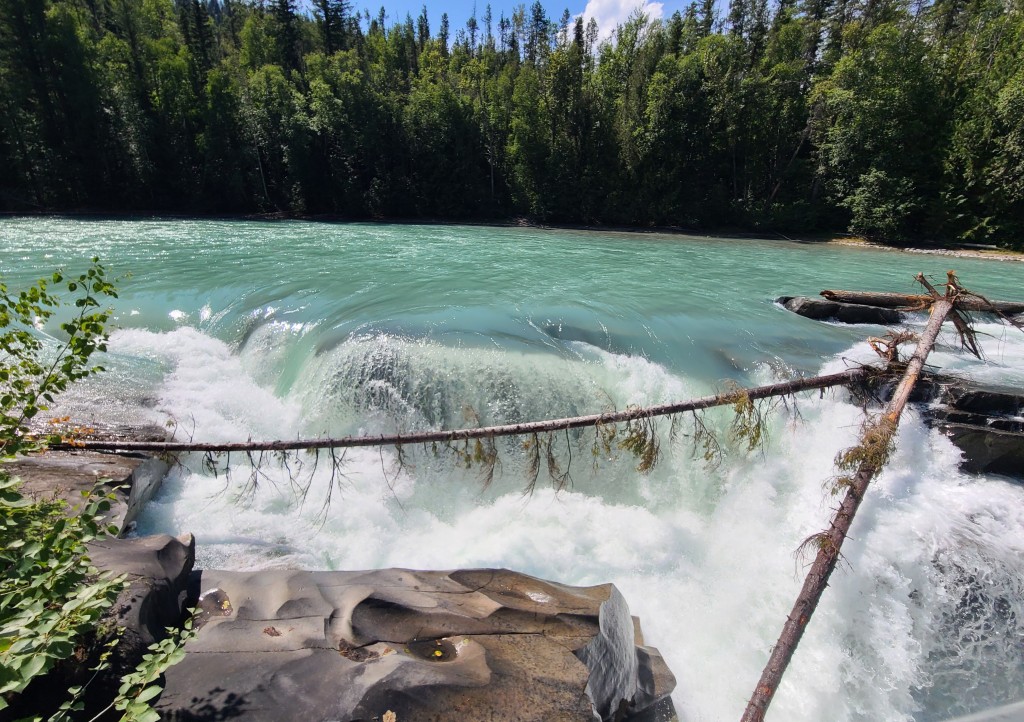
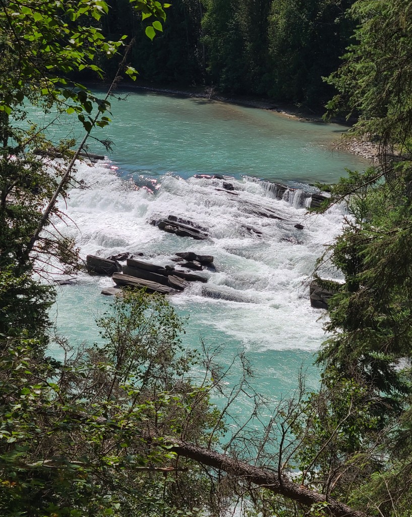
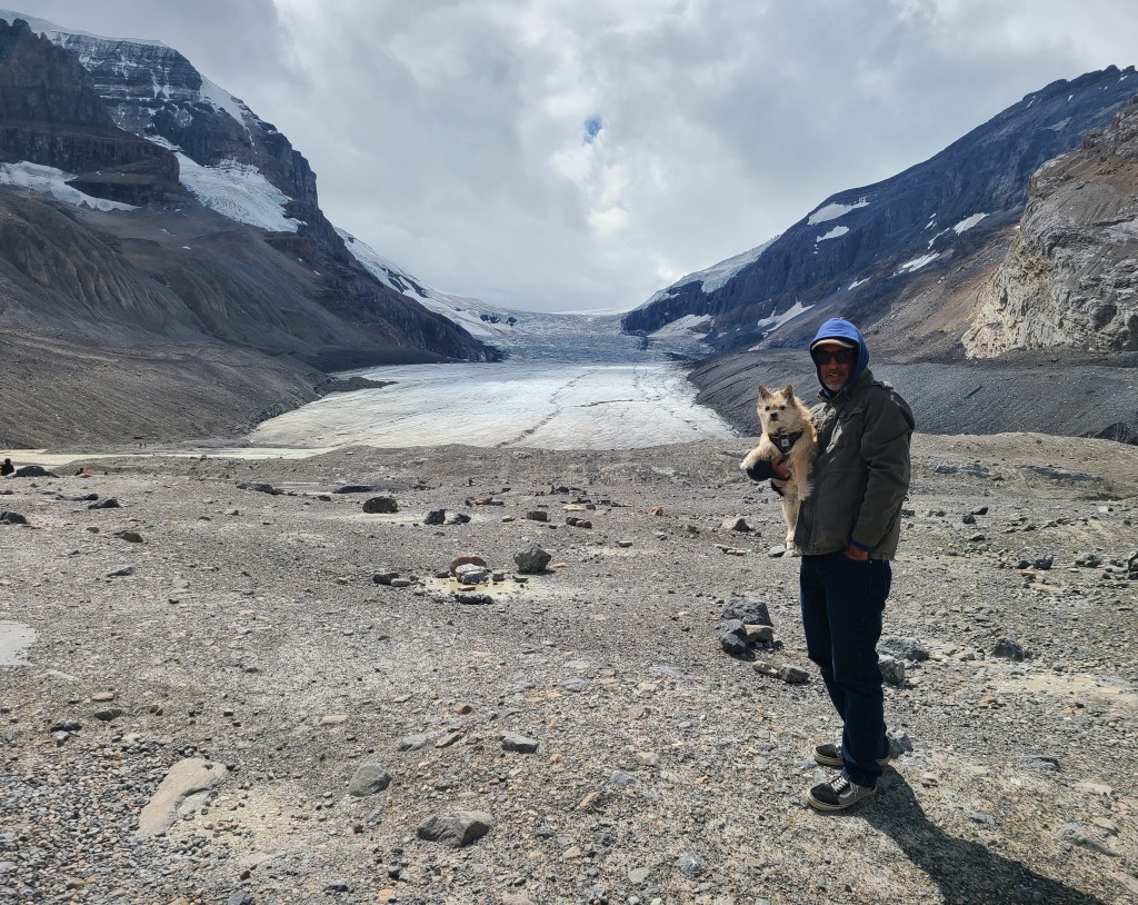
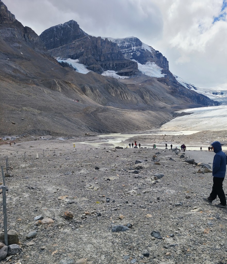
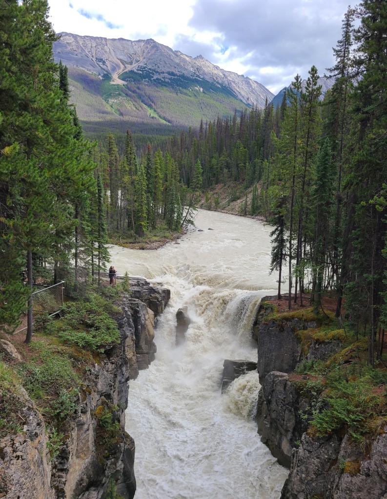
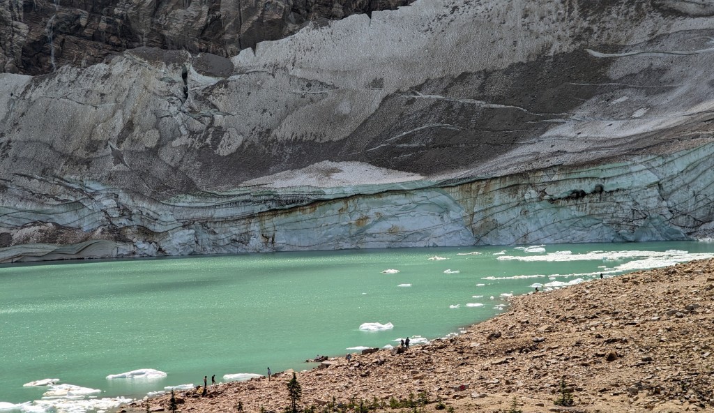
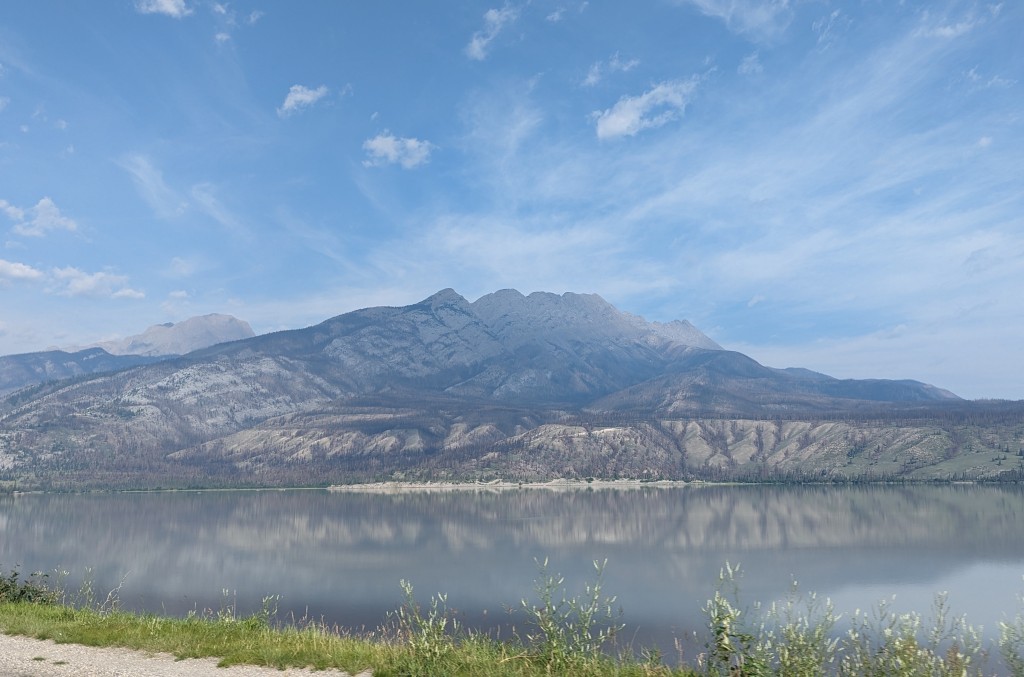
We were hoping for a stop at Johnson Canyon, assuming that the clouds would not effect the close up views of the canyon, but apparently others had the same idea as the parking lots were full and we had not taken the public transportation.   Not to be deterred, we continued past Lake Louise and visited Bow Lake, Crowfoot Glacier and Bow Glacier.  Getting a better view than our quick drive by in the Wanderlodge. 

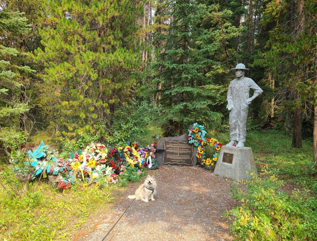
We have commented to each other numerous times about the Ukrainian influence in Canada.  It seems that most every town has some sort of memorial, museum or festival commemorating their Ukrainian heritage.  We did not realize that many Ukrainian refuges migrated to Canada during or before the world wars.  Or that during the second world war Ukrainians were put into detention centers and used for labor constructing the highway thru Banff and the local golf course.  We had learned of German detention centers like in Nyes, but had never made the Ukrainian connection.  This memorial was dedicated to those detainees. 

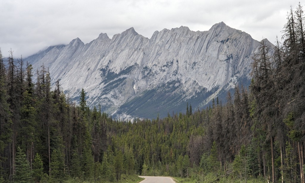
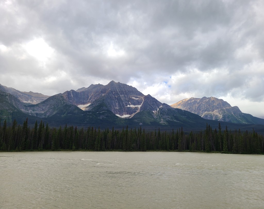
The next day after visiting the lakes we came back on the Bow Parkway and it was much clearer, we even got a view of the Castle Rock and some others along the way.

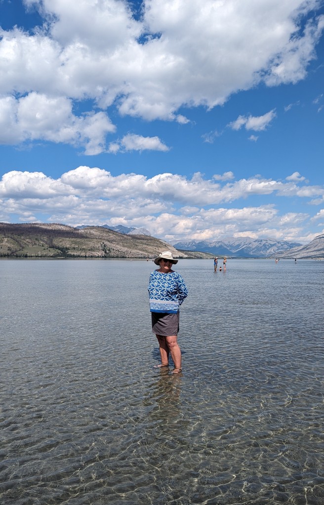
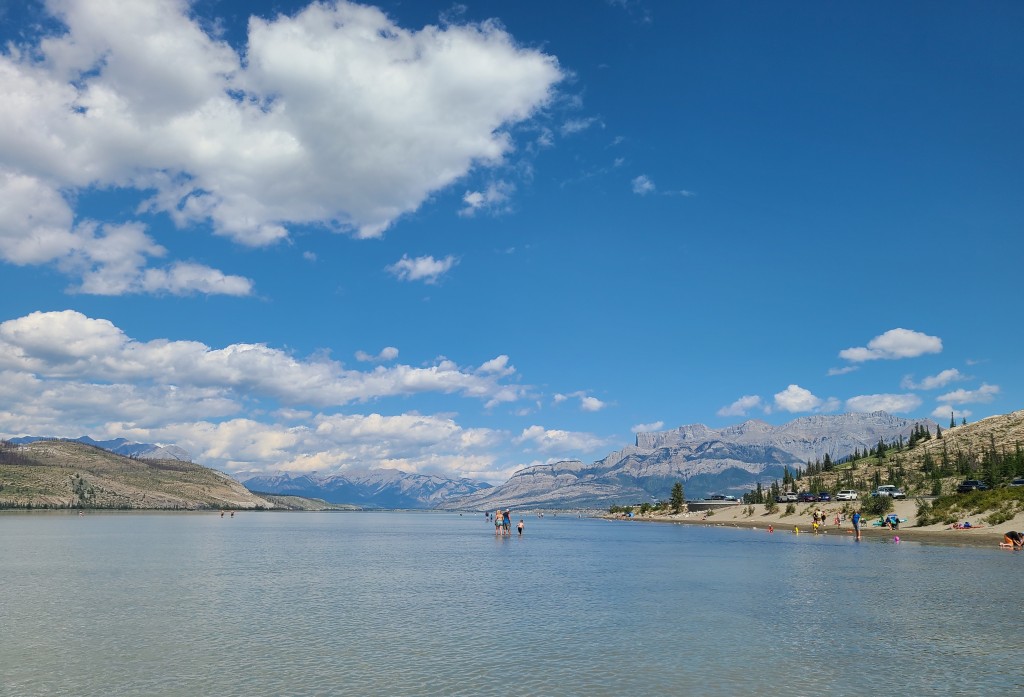
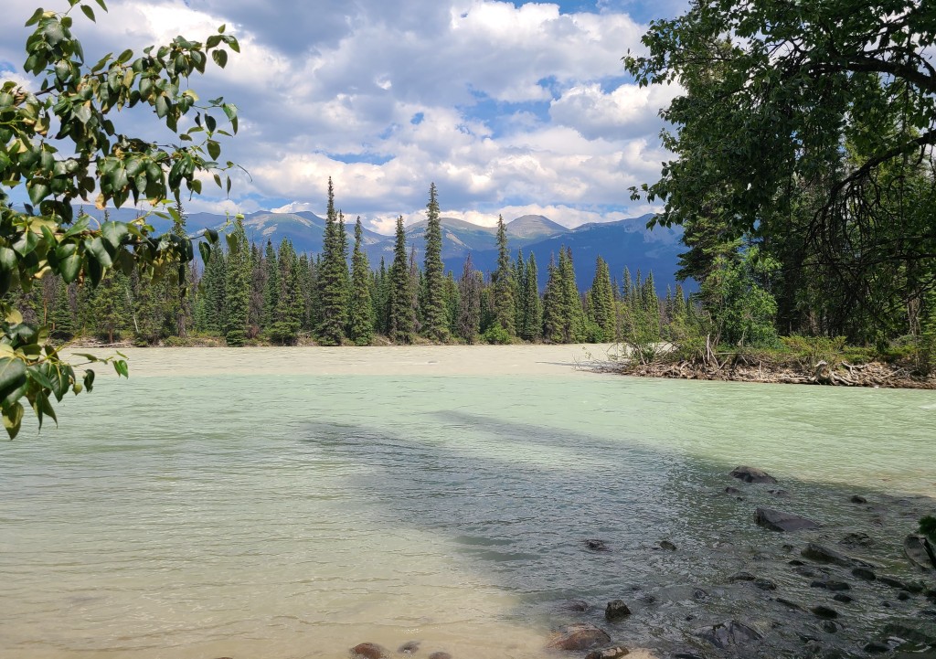
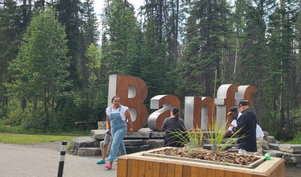
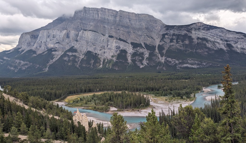
We had to drive thru Banff, just because, and the crowd at the “Banff Sign” told us enough.  We got out of there asap  but did stop at the top to see their version of hoodoos on the shore of Bow River and a beautiful mountain for a back drop. 

Peace Love and cheers to the weather!!

The Ice Field Highway – Jasper to Banff

Touted as one of the most beautiful roads in the world and we can attest to at least the northern half living up to this acclaim we drove the Wanderlodge from Hinton (outside of Jasper) to Kananaskis (outside of Banff).  A very long day for us over five hours of driving.  It is and was a beautiful highway, but the weather did not cooperate as much as we would have liked.  Between drizzling rain and low clouds some of the sights were hard to see. 

But others like this optical illusion was only visible due to the weather.  Notice how it looks like the mountains overlap.

But we did kind of feel for people that were coming to the Columbia Ice Fields for their only chance to visit.  The view was not as spectacular as we have experienced on other days, which if you follow along with us you know. 

But being taller in the bus made it possible to see the glass walkway over the valley with a view of the glaciers.  We choose not to do this, it is only accessible via bus from the Ice Field Center for a pretty steep price. 

We stopped about half way for lunch, and the closer mountains didn’t look too bad. 

And we did get a good shot of the North Saskatchewan River flowing right off the Saskatchewan Glacier only a few miles away where it begins it long journey to the Hudson Bay and eventually the Atlantic ocean. 

The highway follows the Bow River on the southern end and passes Bow Lake and several glaciers.  Here is the lake.

And the Crowfoot Glacier (on the left) and Bow Glacier (on the right).  Ignore the bug remains on the windshield. 

We also picked up Canada Highway 1 the other trans Canadian Highway which took us thru the southern extreme of the park and on to Kananaskis, Alberta.  Love the wildlife crossings on the highway.  This one seems to be fairly new as the trees are not mature.  There are several others and a new one being built right now. 

Peace Love and protect the Wildlife.   

Jasper Miscellaneous

Just a quick recap of miscellaneous things we saw and did in the park. 

First is the arch.  Most every mountain park has an arch or natural bridge as many are called.  Here is Jaspers obligatory arch on Maligne Canyon road. 

Annette Lake is one of the beautiful glacial lakes right downtown Jasper where we had a nice pique nique and a lovely walk around the lake.  It sprinkled on us a couple of times but it was not too bad.  At one point when it poured we were on the far side and there was miraculously a shelter to wait it out.  Beautiful lake. 

Emarald Lake is a beautiful little lake that we passed twice a day on our commute it is the most beautiful color green rain or shine, clouds or sun it seems to just glow every time we passed. 

We also drove up to the tram ride simply to see the view of Jasper from above.  The view was worth it, but did not take the tram. 

We very rarely see other Wanderlodges on our travels, so imagine our surprise when we woke up and one was parked right behind us…  Nice folks on the way to Alaska did not visit much, but was a nice surprise. 

There is a pull off called Goats and Glaciers, when we stopped there were Mountain Goats on the edge of the river.  Nice surprise. 

We did see some other wildlife, some only from the backside, but wildlife non the less. 

And just other miscellaneous views including some sunsets from the campground. 

Peace Love and cheers!!

Jasper NP – Last Couple of Days

Our last couple of days in Jasper National Park we had to decide what we wanted to do.  Our first choice was the Valley of Five Lakes which was going to be a pretty long hike for us, but was something we had not yet done.  Unfortunately, there was no parking and lines of cars waiting to get in to the parking lot to wait for someone to leave, just not our bag.  You know you can’t do it all, and this place would just have to be missed.  So we went back to the Maligne Canyon.

The Canyon has six bridges across the gorge/river.  We had visited the first three and decided to walk between bridge #5 and #4.  Starting at #5 we walked up hill first.  This section of the gorge was not as deep as the higher elevations, but was full of waterfalls that we really enjoyed, you know Nellie loves a waterfall. 

I mentioned, in a prior post, that Medicine Lake drains into some underground rivers and re-emerges several miles down stream in the form of springs.  They say that this is one of the largest underground rivers in the world, but we (not being professionals) would beg to differ, remembering the large number of springs in northern Florida and the Wakulla spring that had over 400,000,000 gallons of water out flow each day.  But will not question the experts.  Anyway this part of the river had waterfalls flowing straight out of the side of the gorge walls, supposedly from the underground river from Medicine Lake.  They said it has be tested via dying the water and waiting for the outflows.  That would be an interesting experiment to be part of.  Here are some of the waterfalls and river views. 

The fourth bridge did not really go anywhere, it just crossed to river and dead ended on the other side.  Here are our shadows waving from the 4th bridge.  The gorge is pretty deep up here.

Next we went back to Edith Cavell, and this time we did actually walk down to the pond at the base of the glaciers.  It wasn’t as bad a walk as I had imagined.  But walking on the rocks near the edge of the pond was not really that easy.  It was amazing being this close to the fresh glacier melt.  Nellie drank some, I splashed it over my face and Randy put his hands in to also.  We spent quite a while just sitting in awe next to the pond, quite overwhelming.

While we were sitting there, we heard and saw small pieces of ice falling off the ice wall on the backside of the pond.  From a distance you could see the splash in the water, unfortunately did not get that picture.  You can see the lines in the ice, I assume they are similar to rings in a tree trunk showing various years of growth and recession.  Don’t think that they produce a layer each year, as some years it may grow higher and others it will shrink.  Not really sure about this, it is just my theory.

We also finally stopped to put our feet into “Jasper Lake” and let Nellie swim.  We passed this twice a day on our commute to the heart of the park. This is actually part of the Athabasca River, but is very wide and very shallow for what appears to be the whole way across.  See the people on the far side and all across no one looks like they are more than knee deep. 

Finally, as much as I mention how small the crowds have been and they have been much smaller than I anticipated, most of the pictures I post are cherry picked to focus on the beauty not the people.  But there are other people here and sometimes it does seem quite busy. 

Peace Love and gratitude for our many blessing of time to explore and enjoy.

Columbia Ice Fields Center Jasper NP

As promised, we left Nellie to rest up for the day and visited the Columbia Ice Fields Center.  The top floor of the Center is a lodge, what an interesting place to stay for your Jasper visit.  A distance from town and most of the typical sights, but boy what a view and access to the ice fields if that’s your thing.  The second floor has two restaurants, one sit down buffet style ($43 price for lunch) and a quick fast food style with $25 hamburgers but they share an outside eating area with one of the best views in the park.  The first level has reservations for the walks or rides out onto the glacier and a gift shop. 

Finally in the basement is what we came to see, some information on glaciers in general and the Columbia Ice Field in particular.   So the main things I learned is that most of my first post about this area was wrong.  The river we followed on the Ice Fields Parkway is not the Athabasca.  The Athabasca River flows out of the back side of the glacier we can see on this side.  The water we saw flowing from the glacier creates the Sunwapta River. 

The Sunwapta River merges with the Athabasca River about half way between Jasper and the ice fields either right before or right after the Sunwapta Falls.  The cloudy whitish color of the Sunwapta and Athabasca Rivers comes from the fine rock dust that has been ground up and released by the Athabasca Glacier, this rock dust is called “rock flour”.  Further from the glacier it is diluted creating the vivid green blue color of the rivers. 

The other really cool thing we learned is what an influence this ice fields has on the entire northern portion of the North American Continent.  Rivers originating in this ice field flow to the Atlantic Ocean, the Pacific Ocean and the Arctic Ocean.  Two of these rivers we have seen several times during our years of travel. 

First the Saskatchewan River we have crossed several times this summer most memorably in Saskatoon.  It flows to the Hudson Bay in north eastern Canada before being dumped into the Atlantic Ocean.

The Columbia River from the Columbia Glacier flows south and west.  This is the headwaters of the Columbia River that creates part of the border between Oregon and Washington and the famous Columbia River Gorge we spent some time on during our visit to Hood River a couple of years ago.

And finally the Athabasca River which has a prominent place in Jasper National Park and eventually empties into the Arctic Ocean.  It’s amazing that explorers in the early 1800s followed several rivers to this location and found water travel routes from as far away as Montreal to the Pacific Ocean.  Too bad Lewis and Clark didn’t venture this far north, but did utilize the Columbia River in their quest to find a water route to the Pacific. 

They also had a nice 20 minute movie, the story was kind of cheesy, but the photography and scenery was stunning!!

Since you have indulged me by reading this far, hope you enjoy the pictures of the ice fields. 

And some male big horned sheep.

Peace and Love!!

Maligne Canyon and Valley, Jasper

Maligne Valley is a section of the park set off on its own with the 44 kilometer road deadending at Maligne Lake.  Maligne Lake has a lodge, restaurant, tour boat and lake access to back woods camping and hiking.  Our day going all the way to the end was rather cold and off and on raining, so there really wasn’t much at Maligne Lake that we were interested in except a picnic break from driving and a beautiful view of the lake and beyond. 

On the way to Lake Milgne is Medicine Lake.  We actually visited Medicine Lake two different days, you may notice a difference in weather on each of the days. The cloudier rainier day was surprisingly clearer for a view of the mountains. Probably the rain keeping smoke down?

Part of the lake is closed because there has been a couple of eagles nesting in a near by tree.  The signs say that they are still incubating the eggs, but we never saw any activity in the nest or any large birds hunting in the lake. 

The water in Medicine Lake fluctuates substantially during the year.  Very full in the early spring to almost empty in late summer to early fall.  Right now it seems to be pretty low, you can see this on the banks surrounding the lake, and at the furthest end of it where it is basically several creeks with running water.  Grasses have even grown in and around the creeks although I understand it is all underwater (or ice and snow) at other times of the year. 

So this I will just put out there. Had read about the draining lake and it producing springs in the valley below. But the ferry and trying to plug the drains??

We also saw a marmot at Medicine Lake. 

The Maligne Canyon was really very impressive.  There are over 10 km of trails up and down the river on both sides and six bridges crossing the river at different places.  Our first time, we only stopped at the lower bridges and took a stroll along the riverside.  Very pleasant and very few people on this part of the canyon, the upper lot was full and crazy.

But boy was the upper section of the canyon the most impressive.  Walking was easier on the lower river, upper canyon was straight up and down but well worth it.  You can cross the canyon on three bridges and get back and forth on either side of it.  One side is paved, has better views and is pretty crowded but the other is a larger trail walking thru the woods, was a nice return trip (you know Nellie loves a loop).

The canyon is up to 50 meters deep in parts and eventhough we could hear water the entire time, many times the walls were so close together and steep that you couldn’t see the bottom.  The waterfalls, pot holes, moses, and walls were quite spectacular. 

Peace Love and keep cutting those canyons. 

Mt. Robson, British Columbia

If you follow the Yellowhead Highway – Trans Canada Hwy 16 from Hinton thru Jasper National Park and the Village of Jasper you quickly enter British Columbia, our 5th Canadian Province on this trip.  Although we have not spent the night (yet) we are checking BC as visited. 

I did not see the actual pass marked, but I believe it is on the border between BC and Alberta, but just past the border is a nice road side park with lots of information about Yellowhead Pass and Yellowhead himself the name sake of the highway.   I know we have mentioned him before, but now I have actual information.  He was Pierre Bostonais an Iroquois Mettis guide and fur trader who spent a lot of time in the area and led an expedition thru the pass in 1825.  He had fair hair (not yellow streaks as I originally reported) which was unusual given his ancestry.  Yellowhead pass is one of the lowest passes across the continental divide in the northern Rockies at only 3,317 feet.  Since we spent so much time on the highway I loved this sign.  We will not continue following it from here so most of Alberta will have to wain for another time. 

Crossing into B.C. is also the border between Jasper National Park and Mt. Robson Provencial Park.  There was no charge for visiting Mt. Robson as the highway goes directly thru it and they really can’t govern who stops and enjoys the park amenities while using the public highway, similar to the part of the highway that goes thru Jasper.  There are lanes to enter as “passing thru traffic” who can just as well visit Jasper except the Ice Fields Highway which has its own gates. 

The highlight of Mt. Robson PP is of course Mt. Robson.  It is the tallest peak in the Canadian Rockies as evidenced by the beautiful snow cover.  We have seen the glaciers and small patches of snow on the mountains within Jasper, but nothing like this.  What a beautiful sight at 12,972 feet.     

We headed this way on Saturday to avoid the weekend crowds in the National Park.  This parking lot was less than a quarter full.  But we learned that the 9+ kilometer hike to lake Berg is mostly closed.  There was a major flood down the trail a couple of years ago and it will be a couple of more years before the entire trail is opened.  Currently about a third of the trail is opened.  We took a very short walk on the trail, but did not go far.  Not sure if the closure is cause for the low attendance, but we were amazed at how few people were there. 

A little further west on Yellowhead highway are the Rearguard Falls.  These mark the upper limit of salmon migration for spawning from the Pacific Ocean.  It is an 800 mile migration so only the strongest and largest salmon make it this far.  You should be able to see some in late summer.  We are a little early for this, but wouldn’t it be amazing. 

Heading back home we had to stop by Moose Lake.  The color of the water is simply amazing.  And it is so clear.  Sorry to say that Moose Lake did not live up to its name, I know there are moose out there just dying to show themselves to us!!!

Finally, a little wildlife since we missed the moose. 

Peace Love and Come here moosey moosey…

Ice Fields, Jasper NP, Canada

Highway 93 between Jasper and Banff is known as the Ice Fields Highway.  We have been told and have read that this is one of the most beautiful roads in the WORLD.  Now we have not traveled the entire world and have only been half way down the Ice Fields Highway, but we have to admit that it did not disappoint. 

From our campground to the Ice Field Center is about an hour and 45 minutes, but because we stop at every single pull out and take our time it was more like 3 and a half.  Not complaining just telling you.  Here are a number of the sights along the way. 

There are a couple of places to view the ice fields and we choose this one for our picnic or as the French say pique nique.  This appears to only be the edge of the ice, just imagine what the back side looks like. 

Love the dual language  signage especially this one. 

The last big ice field stop is at the base of this…

Notice we are still following the Athabasca River and it is still the milky white color, not what I expected from glacier water.  There is a large Ice Field Center that we did not visit, but will go back and visit the exhibits.  First time down the road did not leave enough time, but next time we will speed up the process and make the time. 

We did stop at the base of the Athabasca Glacier on Mt. Athabasca.  It is directly across the street from the center and although you can walk from the center, you can also drive most of the way and just walk up the final hill.  Guess which we did.  Glaciers can create their own weather, usually a cool breeze drifting across the glacier which can be quite pleasant in the warm fall weather (according to the signs).  But today it was blowing a gale and  it was quite chilly, 10 degrees Celsius.  Here is the foot of the glacier which is also the headwaters of the Athabasca River. 

Flowers along the river very close to the headwaters. 

The glacial lake and people climbing up the hill for the view.  Again there are not as many people as we had imagined.   Note the color of the lake, it seems to match the surrounding landscape which is sandy not solid rock like some places.  Guess the silt combined in the thousands of years old glacier created the whiteish color of the river??  Hopefully the exhibits in the Center will shed some more light on this matter. 

You can also hire a guide or this very large tired but to get out on the glacier itself. Not sure what the fee is, but I’m sure it is not cheap??

We also passed a couple of waterfalls, you know Nellie loves a waterfall. First was Sunwapta Falls and then Tangle Creek Falls.

Peace Love and gratitude for the road builders so we can see such sites. 

Edith Cavell Jasper NP Day One Cont.

Mt. Edith Cavell is our first chance for a close up glacier.  We saw one in the Grand Tetons, but it was so small and far away that if the sign had not pointed it out we would have never known it was a glacier.  But this is a whole new ball game.  Even on the approach you can tell it is a very large ice mass. 

To get the front row view you have to drive about 20 miles up a winding mountain road.  Upon finally arriving we were afraid that parking was going to be an issue.  People were parked all over the road and shoulders of the parking lots in no parking zones.  Just as we were about to start our second tour of the lots, there was an empty spot less than 30 yards from the trail head, Randy must have called ahead for us…

We had a lovely picnic with a view from the trailhead before taking the straight up hike to a better view point.  Here is our lunch view of the glacier and the other way too.   An amazing amount of snow and ice on top and the constant melting, it is incredible that there is any left.  You can see the number of water falls running out of the it even from here. 

As we climbed the mountain (nice paved trail) the pond resulting from the run off began to appear.  And when the sun was on it the color was simply amazing.   I understand that glaciers are kind of protected in the winter with fresh snow fall covering and insulating them, but it is amazing that they have survived for thousands of years.  I guess that in the artic these is a lot of old ice, but coming from NC its amazing for me to think of their original size and the continual recession and still how much is left.  The water flowing out of it has not been exposed to air in thousands of years.  Anyway, here is Angel Glacier on Mt. Edith Cavell and it’s pond.  I believe there is actually another named glacier on the edge of the pond, but can’t seem to find its name right now. 

We were fortunate enough to also get the front row bench at the viewing point to rest and enjoy the glorious view.   We did not go back down the mountain to the ponds edge to actually touch the glacier water, mostly because we would then have to climb back up and we had Nellie with us.  We would like to go back and actually go to the waters edge, but not sure if we will, will keep you posted.  As the sign says you are not supposed to go down there it is dangerous, but as you can see many people do. 

In these full pictures it all looks kind of small, but it is anything but small.  In this “pond” close up you can see how small the people are.  Also note the icebergs floating in the water so chunks of ice do fall off. 

Another striking thing was that it was not very crowded.  The parking lot was but not where we wanted to go, guess lots of people take the longer trails…  Of course, there were other people, but this is their high season, I was expecting more people, but we’re not complaining!!!

Peace Love and cheers to the glaciers!!

Jasper National Park – Day One

Day one started out pretty hazy/smokey/foggy or a little bit of all, but I suspect mostly smoke today.  These pictures are from our campground on day one vs day two.

So, I will show some of our first approach to the park but you can see the haze and hope we will have better pictures before we leave. 

Our first stop was Patricia Lake, cheers to the special Patricias in our lives (even if it’s a middle seldom used name).  Patricia was very calm and we got this nice reflection of Pyramid Mountain in the background. 

Interestingly enough, during WW11 in 1942 they tested building an air craft carrier made of ice.  The theory was that it would float similar to an ice berg, they just had to keep it frozen.  They actually built a prototype 1-50 in scale and tested its durability right here in Patricia Lake.  It proved to be ineffective especially during the summer months.  If you are interested in more info, zoom in and you will know what we know. 

Lake Pyramid which is flanked by Mt. Pyramid, has a public beach, lodge, boat rentals and other incidentals.  It also has a small island that you can walk around and get a view of the entire lake.  This picnic shelter was built by the Canadian equivalate of the US CCC employing young men during the depression of the 1930s.  I don’t recall their name, but will probably see it again before too long?? 

Mt. Pyramid is a focal point from most all of Jasper the village and the surrounding areas.  Here it is from Pyramid Lake. 

Edith Cavell was our next stop and will get its own post (being our first glacier visit) but I will finish out the rest of the day here. 

The highway south of Jasper is Hwy 93 the Ice Fields Highway, and connects Jasper and Banff national parks.  Hwy 93A parallels it part of the way and is what we had to use to go to Edith Cavell.  Leaving we could continue on 93A until it met regular 93 or backtrack to Jasper, of course we wanted to complete the loop, you know Nellie loves a loop. 

Along the way we passed the convergence of The Whirlpool River and Athabasca River.  The Athabasca River runs along Hwy 93 and the Yellow Head Hwy 16 from the Hinton (east) side of Jasper.  It originates at the Athabasca Glacier so you would think it would be the brilliant turquoise blue water of most glacial  lakes, but it is more white in color.  It is extremely clear, but pretty white.  The Whirlpool River on the other hand is much bluer.  Here you can see the convergence and the different colors of the water as they combine.  Athabasca is much larger so the white color wins out. 

And right at the junction of Hwy 93 and 93A, we stopped for Athabasca Falls.  We find it strange that the overlook is right on top of the falls, so not providing the best view.  But seeing how the resulting canyon twists and the height of the canyon walls we are not sure if there is a better view?   The mountain behind the falls is Mt. Kerkeslin. 

We did pass a couple of elk on the ride home.

And a lovely shot of Emerald Lake.  It has this lovely green color even on the cloudy days.  No signage so not sure why, but it is lovely and on our way back and forth to home.

Peace Love and cheers to our first taste of the Canadian Rockies!!